The Milford  Track Track
by Pamela Blalock
with (most) photos by John Bayley

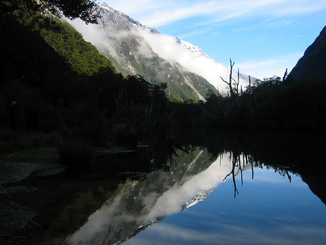
The second day started with a bit of fog, which burned off quickly.

Hmm, too many arrows, not really sure which way to go here. This actually indicates how bad the track can get when it is wet. This route signs are there to guide folks when the track is under lots of water!

There was still quite a bit of snow on the tops, and numerous waterfalls.
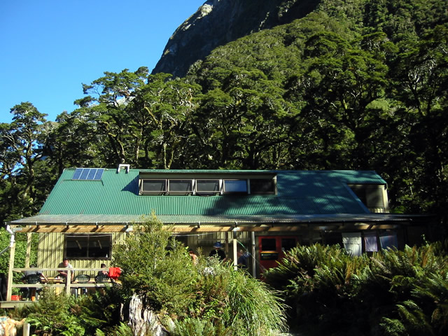
Mintaro Hut housed everything in one building. The bunkroom was upstairs, with a large kitchen and common area below. Solar panels provide power for lights for a few hours in the evening. As we passed the guided hut an hour or so before reaching this one, we could hear the hum and smell the fuel of the generators.
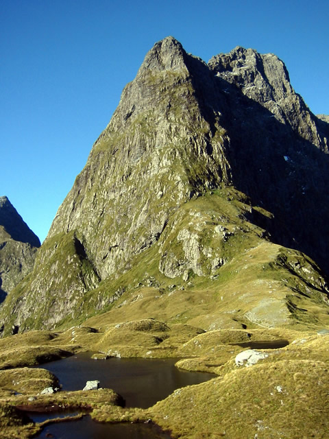
Given the sunny weather and changeability, we were encouraged to drop our packs and head up and 1.5 hours to the top for the great views. In doing so, we left the extra memory card and battery at the hut, but John managed to get a few shots before running out of both power and space.
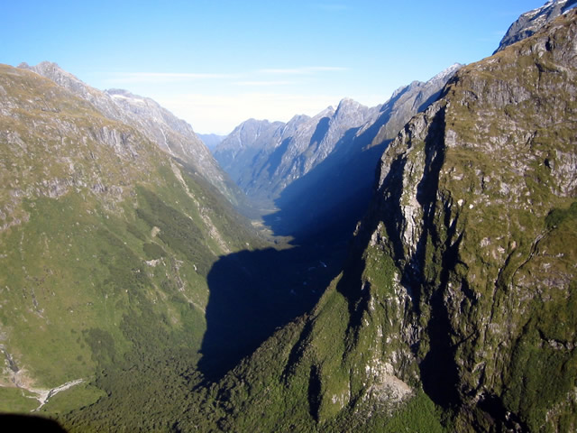
It was a long day. By the time we finished up, we walked for almost 9 hours. I couldn't decide if I wanted rain the next day to make this long day prove worthwhile, or not. But I was plenty beat and slept well.
Enough of this walking stuff. Jump straight to the
 South Island Bike Tour
Routeburn
Track
 Doubtful Sound
Franz Josef Glacier

|


 Day 1
Day 1
